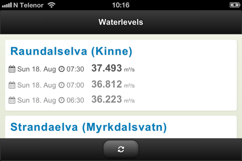
Waterlevels give you the flow for the rivers in Voss, Norway. The 3 last observations are displayed for each river, allowing you to see how fast the waterlevel goes up or down. You can also click the river name and get the levels for the last 24-48 hours. All data are fresh and live from NVE, Norges Energi og Vassdragsdirektorat. You get a quick overview by seeing all the rivers on the first page. Your best friend in deciding where to go fishing, kayaking or whatever fits the current levels.


